
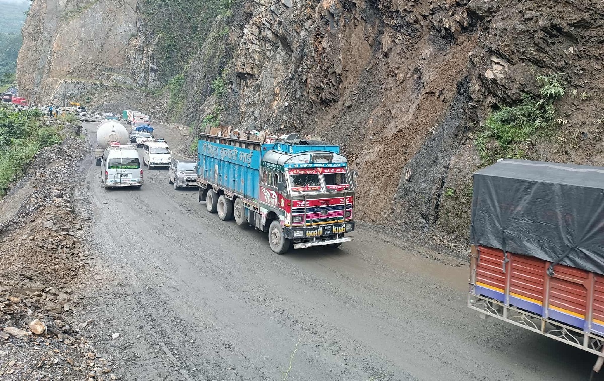
A recent study by the Road Division Office in Bharatpur has identified 43 locations at risk of landslides along the Narayangadh–Muglin road section, a key highway connecting to Kathmandu.
According to the report:
- 8 areas are classified as high risk
- 22 areas as moderate risk
- 13 areas as low risk
Among them, Tuin Khola has been categorized as extremely high risk. Engineer Arjun Ghimire stated that Tuin Khola, along with Kali Khola and Namsi Khola, are among the most vulnerable zones.
Other high-risk sections include:
- The stretch between Tuin Khola and Chisenji (prone to rockfalls)
- Two locations at Char Kilo (one affected by landslides, another by mudflow)
- Mauri Khola and Seti Dobhan (both highly prone to debris flow landslides)
Additional risk-prone areas include 16 Kilo, 17 Kilo, Dumre Khola, and Simaltal.
Office chief Narayan Lamichhane said that a master plan to control landslides in Tuin, Kali, and Namsi Khola has already been submitted to the Department of Roads for approval. The design process is in its final stage.
The government has allocated:
- NPR 250 million for landslide prevention in high-risk zones
- NPR 200 million for other vulnerable areas
Preparation for tender announcements is underway, and mitigation work is expected to begin before the monsoon season.
This highway is considered a vital lifeline, with over 10,000 vehicles using it daily. Landslides, especially during the rainy season, have been a recurring issue—partly due to slope cutting during road expansion in recent years.